
Texas 1-d-1 Wildlife Exemption: How Thermal Drone Surveys Help Save on Property Taxes
- Nate Bricker
- Jun 21
- 4 min read
If you own a ranch or rural property in Texas, property taxes based on rising market values can quickly become one of your biggest expenses. Many landowners are discovering they can keep taxes much lower by qualifying their land for the 1-d-1 wildlife management valuation (the wildlife exemption or wildlife use appraisal).

The key to a strong application and ongoing compliance is solid documentation of active wildlife management — and one of the most effective ways to gather that documentation is with a professional thermal drone deer survey or thermal wildlife survey.
At Old Goat Aerial Services, we specialize in delivering accurate, defensible census data that Texas ranchers use to support their wildlife management plans and maintain this valuable tax valuation.
What Is the Texas 1-d-1 Wildlife Exemption?
It is not a full exemption from property taxes. It is a special open-space agricultural appraisal under Texas Tax Code that lets qualifying land be taxed based on its productive value for wildlife management instead of its much higher market value.
To qualify:
Your land must already be appraised as 1-d-1 agricultural or timber land.
You convert the primary use to wildlife management by submitting a wildlife management plan.
You must actively implement at least three of the seven qualifying wildlife management practices each year and document your efforts.
The Texas Parks and Wildlife Department (TPWD) provides the official form (PWD-885) and ecoregion-specific guidelines. You submit everything to your County Central Appraisal District (not TPWD). Applications are typically due by May 1 for the year you want the valuation to apply.
Helpful official resources for texas 1-d-1 wildlife exemption:
TPWD Wildlife Management Valuation FAQ: tpwd.texas.gov/faq/huntwild/tax_valuation.phtml
Main page with forms and guidelines: tpwd.texas.gov/landwater/land/private/agricultural_land/
Wildlife Management Plan form (PWD-885)
The seven qualifying practices generally include habitat control, erosion control, predator control, providing supplemental water, providing supplemental food, providing shelter, and making census counts to determine population.
The Real Problem: High Taxes + Weak Documentation
Many Texas ranch owners face the same challenges:
Market-value appraisals that have skyrocketed with land prices, creating tax bills that make keeping family land difficult.
Uncertainty about whether their current management activities will satisfy the appraisal district.
Difficulty getting reliable, large-scale population data. Traditional methods like spotlight counts or trail cameras often miss animals in thick brush, cover only small portions of the property, and produce inconsistent results that are hard to defend.
Without strong documentation — especially for the census counts practice — your wildlife management plan or annual report can look incomplete. This risks delays, requests for more information, or even loss of the special valuation.
For buyers and sellers, the lack of accurate wildlife population numbers also creates uncertainty. Buyers want to know what they’re actually getting; sellers want to prove the land’s true value.

How a Professional Thermal Drone Wildlife Survey Solves This
A thermal drone deer survey (or broader thermal wildlife survey) excels at delivering the accurate census data landowners need for their 1-d-1 documentation.
Why it works so well:
Thermal imaging detects animals through dense cedar, brush, and canopy at night when wildlife is most active — something ground-based or visible-light methods struggle with.
One or two flights can cover hundreds or thousands of acres efficiently.
You get total counts, buck-to-doe ratios, fawn crop estimates, and location data (often with interactive maps).
The process is non-invasive and low-stress on the animals.
Professional reports with clear data, maps, and methodology are increasingly accepted by county appraisal districts and TPWD biologists as credible evidence of active management.
The same high-quality data also supports MLDP (Managed Lands Deer Program) applications, helping you potentially qualify for extended seasons and more tags while strengthening your overall wildlife management story.
User benefits you can expect:
Significant property tax savings — By qualifying for or maintaining the 1-d-1 wildlife valuation, many landowners see their taxable value drop dramatically (often 80%+ lower than market value in rural areas). Real-world examples from Texas properties show annual savings ranging from several thousand dollars on smaller tracts to well over $100,000 on larger ranches, depending on size, location, and the gap between market and productivity values. You still pay property taxes, but at the much lower rate based on productive use (revenue-neutral for counties).
Stronger, more defensible wildlife management plans and annual reports.
Better-informed decisions about herd health, habitat work, and hunting.
Increased confidence and negotiating power when buying or selling ranch property — accurate population numbers are a tangible asset.
Peace of mind knowing your documentation meets professional standards.
Why Work with a Professional Service Like Old Goat Aerial Services?

While some landowners attempt DIY surveys, professional thermal drone operators bring equipment, training, experience across many properties, and polished reporting that appraisal districts respect.
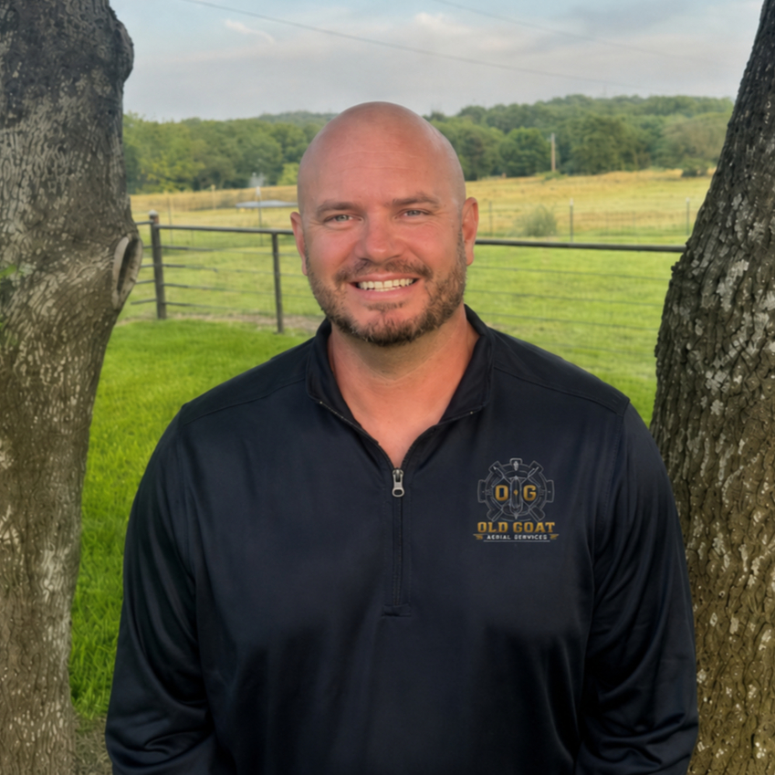
Nate Bricker, owner of Old Goat Aerial Services, is a retired Navy Senior Chief with a background in precision aviation and operations. He holds his FAA Part 107 Remote Pilot certificate, TPWD Aerial Permit, and Level 1 Thermography certification. We focus on North Texas and surrounding areas, delivering fast, accurate thermal drone surveys specifically tailored for deer population counts, MLDP support, and wildlife management documentation.
We don’t just fly — we provide the data and reporting you can confidently include with your PWD-885 plan or annual report.
Ready to Get the Data You Need?
If you’re already on (or considering) the 1-d-1 wildlife valuation path and want reliable census counts for your management plan, a thermal drone wildlife survey is one of the smartest investments you can make.
Contact Old Goat Aerial Services today for a custom quote on a thermal drone deer or wildlife survey for your Texas ranch. We’ll help you gather the accurate population data that supports both better land management and your property tax goals.
Serving North Texas and beyond with veteran-owned precision thermal drone surveys for wildlife management, MLDP, and 1-d-1 documentation.


Comments