
How to Qualify for More Deer Tags in Texas
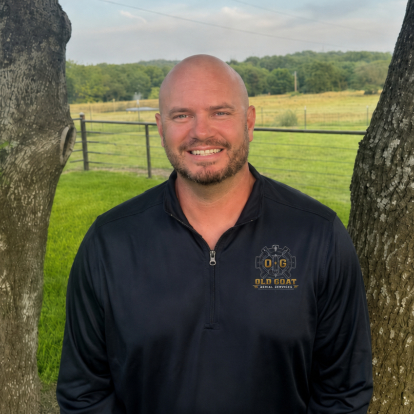
Most Texas landowners who want more deer tags are looking at the same program: the Managed Lands Deer Program Conservation Option. The harvest recommendations TPWD writes for that option are only as good as the population data you give them. A sloppy spotlight count in thick cedar is how ranches stay stuck on county-wide bag limits.
Old Goat Aerial Services flies thermal drone deer surveys for North Texas ranches so the number you turn in is a real count, not a guess from the ranch road.
How Texas actually issues more deer tags
Standard county regulations are a one-size-fits-all ceiling. MLDP Conservation Option is the path that can extend season dates and raise tag numbers on your specific property. Harvest Option is simpler and does not require the same level of population data. Conservation Option does.
TPWD biologists use your census, habitat notes, and harvest history to set a property-specific recommendation. If the count is thin or inconsistent, they have no reason to move you off the conservative default.
What TPWD needs to see
A defensible total deer estimate for the property, not a driveway count.
Buck-to-doe ratio so harvest pressure is not all guesswork.
Fawn crop and recruitment, which tells them whether the herd is replacing itself.
Repeatable method and dates so next year can be compared to this year.
Notes on other pressure on the land, including feral hogs when they show up on the same flight.
Census counts also support a 1-d-1 wildlife management valuation. The same thermal wildlife survey Texas landowners use for MLDP is often the documentation a county appraisal district wants to see for the census practice in a wildlife plan.
Why a thermal drone deer survey beats a spotlight count
Spotlight surveys miss deer that never step into the open. Helicopters are loud, expensive, and move animals before you finish a pasture. A night thermal flight covers the property when deer are on their feet and picks up heat through brush that a visible camera cannot.
That is the difference between an accurate deer count Texas ranch owners can stand behind and a number nobody at the biologist desk trusts.
What you get back from Old Goat
Total deer population estimate from the flown acreage
Buck-to-doe ratio
Fawn crop and recruitment notes
Mapped locations of observed animals
Thermal footage for review
A written report formatted so you can use it for MLDP and wildlife-plan files
Nate Bricker is a retired Navy Senior Chief, FAA Part 107 Remote Pilot, Level 1 Thermography technician, and TPWD Aerial Permit holder. Flights are legal. Reports are written for the people who have to use them.
How to get ready for a survey
Know your acreage and a simple property boundary we can fly.
Tell us whether you are already in MLDP Conservation Option or applying.
Note access, livestock, neighbors, and any no-fly pockets.
Plan the flight for a calm, dry night. Heat signatures and safety both get worse in high wind and rain.
Who this is for
This is built for Parker County, Aledo, Fort Worth, Weatherford, and other North Texas ranches that hunt, manage habitat, or need wildlife documentation for taxes. We fly statewide when the property and permit work make sense.
If you also have a hog problem, say so when you request the quote. A feral hog survey drone pass can ride with the deer work instead of becoming a second trip.
Next step
Request a quote with property size and whether you need MLDP support, 1-d-1 documentation, or both. We reply within 24 hours with a custom quote. Call (817) 701-8614 or use the quote form at https://www.oldgoataerialservices.com/get-a-quote
Read more on the thermal drone deer survey page at https://www.oldgoataerialservices.com/services/thermal-drone-deer-surveys-mldp and the existing MLDP explainer at https://www.oldgoataerialservices.com/post/thermal-wildlife-surveys-mldp-support-how-accurate-data-helps-landowners-manage-their-property


Comments